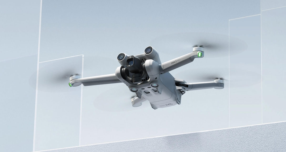
DJI is a company that has become the biggest name in drones in recent years and makes some of the most popular models for both professionals and hobbyists alike.
The drones have various safety features not least the way that they are automatically prevented from flying over airports and military bases — but that’s all changing.

In a post on the DJI blog, the company confirmed that it has now removed the feature for those using the DJI Fly and DJI Pilot apps. It notes that the change, now being made in the United States, matches one that was previously made in the European Union in 2024.
With this update, DJI’s Fly and Pilot flight app operators will see prior DJI geofencing datasets replaced to display official Federal Aviation Administration (FAA) data. Areas previously defined as Restricted Zones (also known as No-Fly Zones) will be displayed as Enhanced Warning Zones, aligning with the FAA’s designated areas. In these zones, in-app alerts will notify operators flying near FAA designated controlled airspace, placing control back in the hands of the drone operators, in line with regulatory principles of the operator bearing final responsibility.
Owners of DJI drones will need to connect the app to the internet and then choose the Update feature in the FlySafe notification when it pops up.

The switch will mean that they then have the ability to fly their drones in areas that were previously off-limits. The GEO system that handles such no-fly zones was launched in 2013 and this latest update means that those zones will now be listed as Enhanced Warning Zones so people can still see which areas they may want to avoid.
You may also like to check out:
- Jailbreak iOS 18.2.1 Status Update For iPhone And iPad Users
- iOS 18 Hidden Features For iPhone And iPad [100+ List]
- Download: iOS 18.2.1 IPSW Links And OTA Update Out For iPhone, iPadOS 18.2.1 For iPad
- Download: iOS 18.3 Beta 2 OTA Profile, IPSW Links Out Now
- How To Fix Bad iOS 18 Battery Life Drain On iPhone
- Fix iOS 18 WiFi: Keeps Dropping, Not Working, Disconnecting Or Slow? Here’s What To Do
You can follow us on X, or Instagram, subscribe to our YouTube channel and even like our Facebook page to keep yourself updated on all the latest from Microsoft, Google, Apple, and the Web.

